
Terrestrial Ecosystem Carbon and Water Dynamics
Terrestrial ecosystems continuously exchange carbon, water, and energy with the atmosphere, processes that are fundamental to ecosystem functioning and crucial for regulating Earth’s climate. For instance, in recent decades, ecosystems have removed one-third of anthropogenic carbon emissions, partly mitigating climate change. Despite the importance, quantitatively understanding ecosystem carbon and water dynamics, especially in response to environmental and climatic changes, remains a significant challenge. This is due to the intrinsic complexity of these processes and a lack of direct observations at scale. We develop novel frameworks to robustly quantify ecosystem carbon and water dynamics, by integrating ground-based measurements (e.g. eddy covariance), satellite remote sensing, and advanced machine/deep learning. We answer fundamental questions on how ecosystem functions and services are changing, improving our predictive understanding of the Earth system.
Key results:
- CEDAR-GPP: a novel data-driven GPP dataset that comprehensively represent CO2 fertilization effect on global photosynthesis. Kang, Y., et al., 2024, ESSD preprint
- Evaluating automated Machine Learning for quantifying ecosystem productivities. Gaber, M., Kang, Y. et al Biogeosciences, 2024. paper
- A Transformer-based predictor of ecosystem photosynthesis dynamics: Nakagawa, R., … Kang, Y. (2023). CVPR MultiEarth Workshop. preprint
Monitoring Nature-based Climate Solutions
Nature-based Climate Solutions (NbCS) are essential climate mitigation strategies, aiming to enhance CO2 sequestration through the restoration, protection, and management of ecosystems, such as forests, grasslands, and croplands. These strategies offer substantial near-term mitigation potential but face significant challenges, particularly in the monitoring and measurement of their carbon benefits and cooling effects. Our research is dedicated to building robust, scalable, and cost-effective frameworks to comprehensively evaluate the carbon offset results of NbCS projects, by leveraging multi-source remote sensing, ground-based measurements, and deep learning techniques.
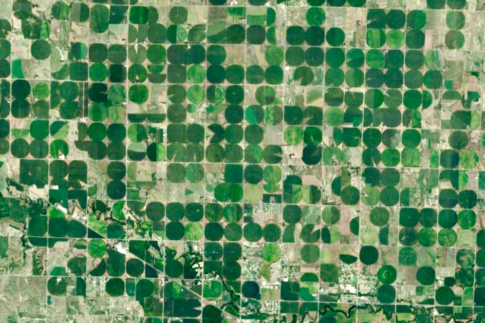
Agroecosystem Monitoring and Modeling
Sustainable and resilient agricultural systems are key for ensuring global food security and mitigating climate change. Effective management of these systems requires close monitoring and robust modeling of key processes - such as crop water use, development, productivity, and carbon sequestration. These capabilities enhance our understanding of agroecosystem dynamics and inform decision-making in response to changing climatic and socio-economic conditions. Our research leverages cross-platform remote sensing, in situ measurements, process-based models, data assimilation, and machine learning techniques, to develop robust, scalable, and cost-effective systems for monitoring agroecosystem processes and modeling the impacts of management and environmental changes.
Key results:
Kang, Y., Gao, F., Anderson, M. et al. Evaluation of satellite Leaf Area Index in California vineyards for improving water use estimation. Irrig Sci (2022). link
Kang, Y., & Özdoğan, M. (2019). Field-level crop yield mapping with Landsat using a hierarchical data assimilation approach. Remote Sensing of Environment, 228, 144–163. link
Kang, Y., Ozdogan, M., Zhu, X., Ye, Z., Hain, C., & Anderson, M. (2020). Comparative assessment of environmental variables and machine learning algorithms for maize yield prediction in the US Midwest. Environmental Research Letters, 15(6). link
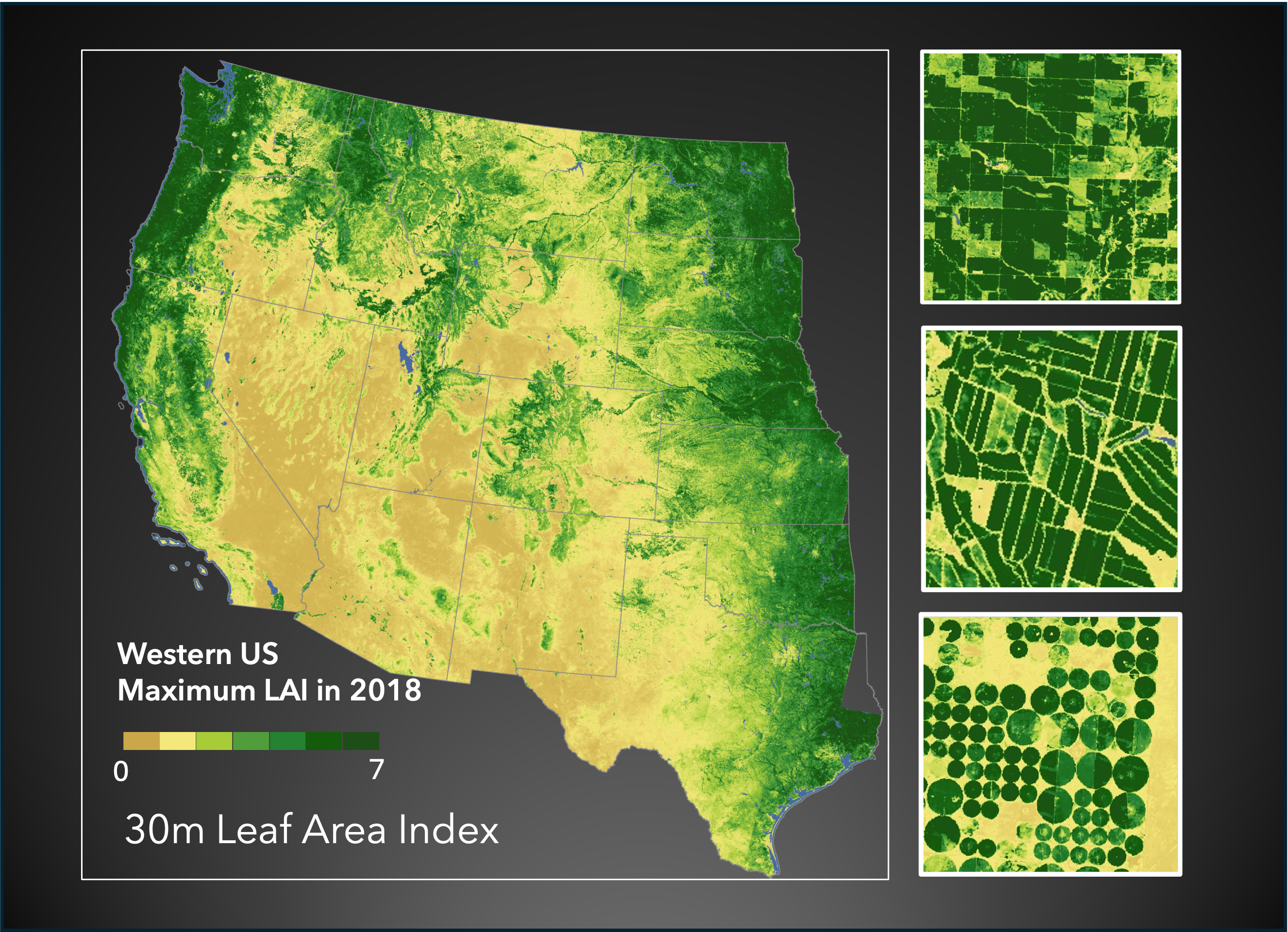
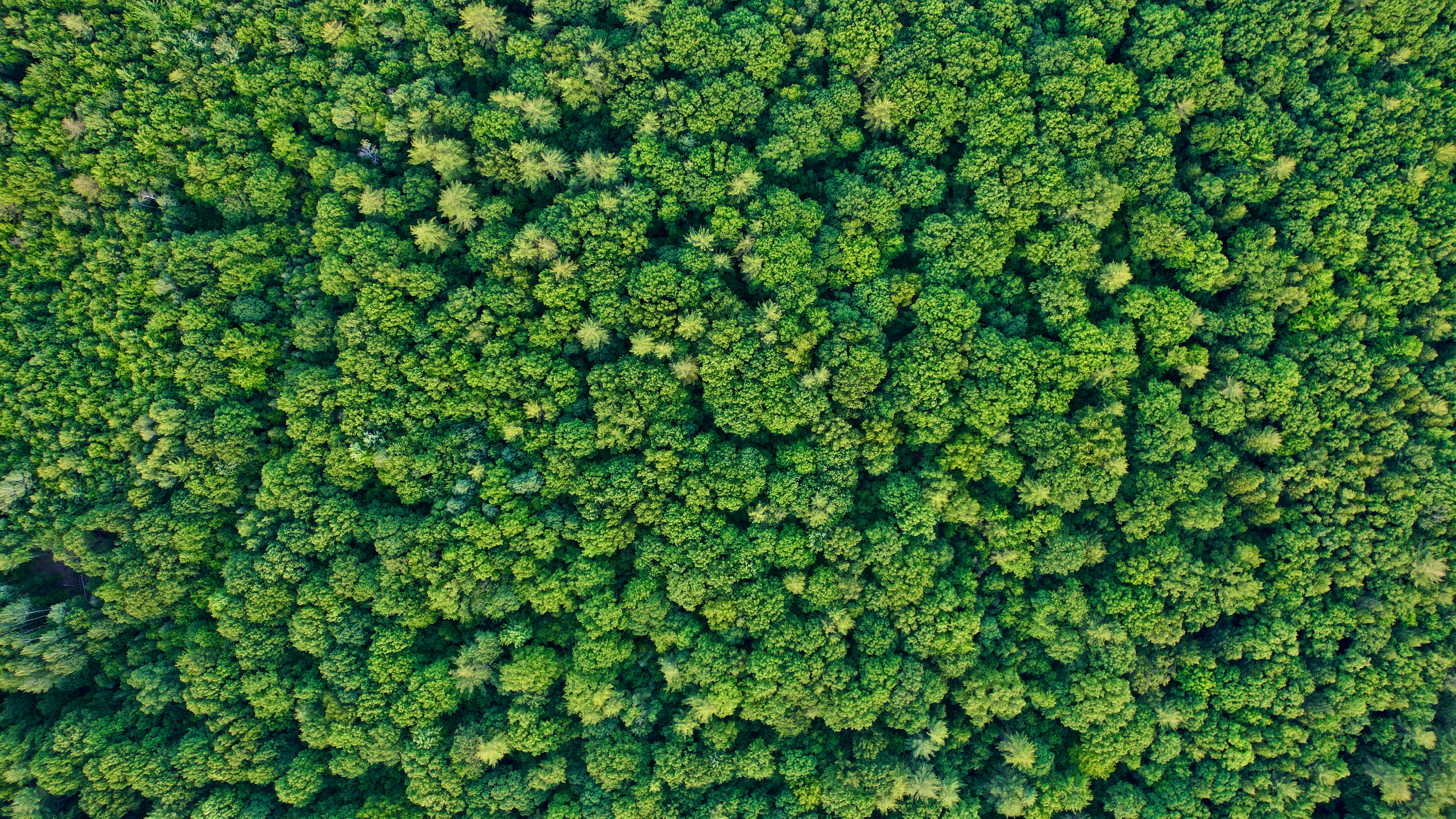
Remote Sensing of Vegetation States and Functions
Remote sensing has revolutionized our ability to understand and sustainably manage ecosystems across diverse spatial and temporal scales, enabling us to track global vegetation changes, monitor the global carbon cycle, advance precision agriculture, and enhance disaster and risk management, etc. Our mission is to develop robust methodologies and datasets that accurately quantify vegetation dynamics using across-platform remote sensing data, at the spatial and temporal scales crucial for scientific inquiry and informed decision-making. We place a strong emphasis on the comprehensive quantification of uncertainties in remote sensing based data and are committed to open science and open data.
Key results:
Kang, Y., Ozdogan, M., Gao, F., et al. (2021). A data-driven approach to estimate leaf area index for Landsat images over the contiguous US. Remote Sensing of Environment, 258, 112383. link
Kang, Y., Özdoğan, M., Zipper, S. C., et al. (2016). How universal is the relationship between remotely sensed vegetation indices and crop leaf area index? A global assessment. Remote Sensing, 8(7), 597. link
Marshall, M., Okuto, E., Kang, Y., et al. (2016). Global assessment of Vegetation Index and Phenology Lab (VIP) and Global Inventory Modeling and Mapping Studies (GIMMS) version 3 products. Biogeosciences, 13(3), 625–639. link